Cinder Cone
Lassen Volcanic National Park
 |
 |
 |
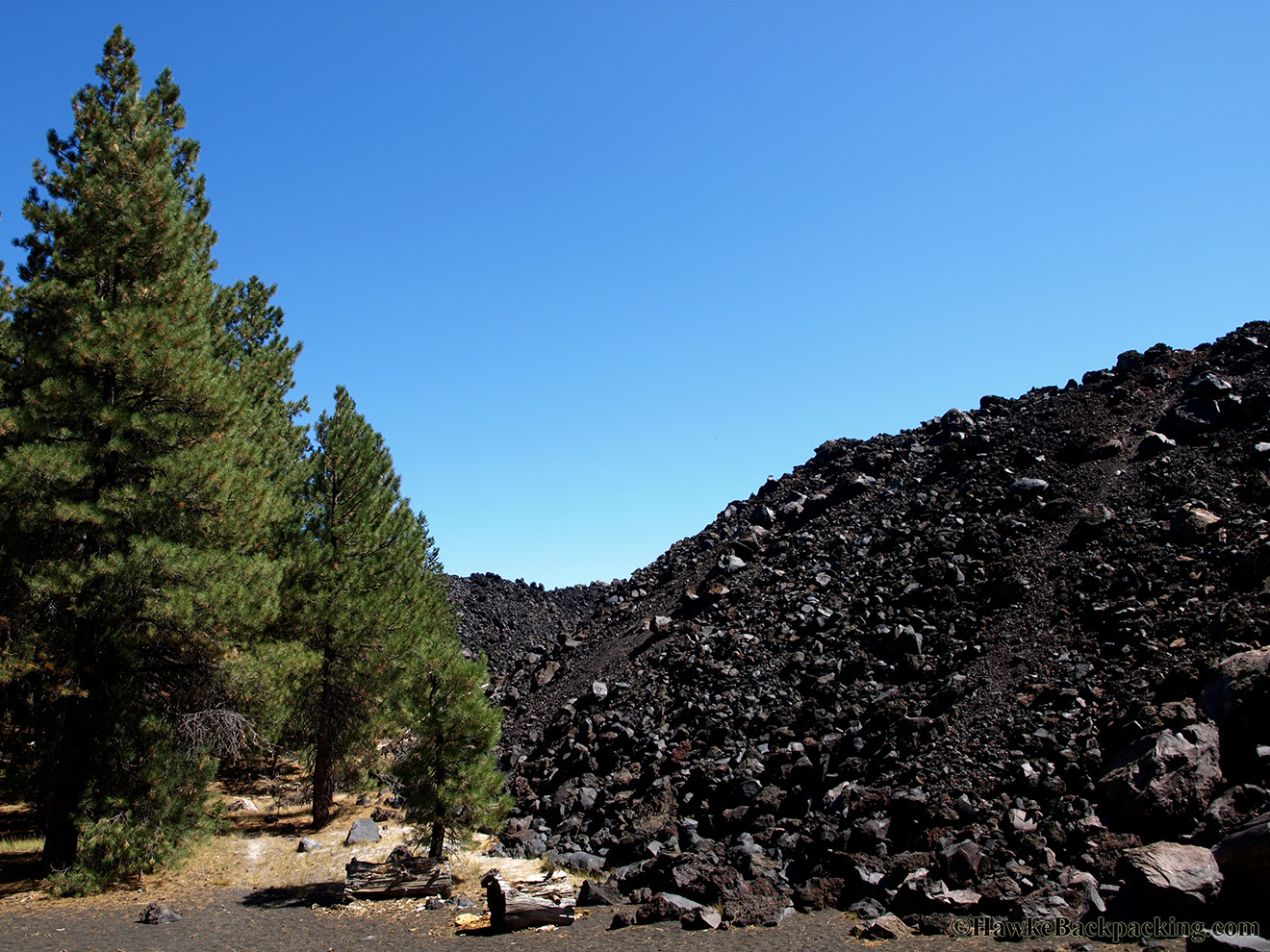
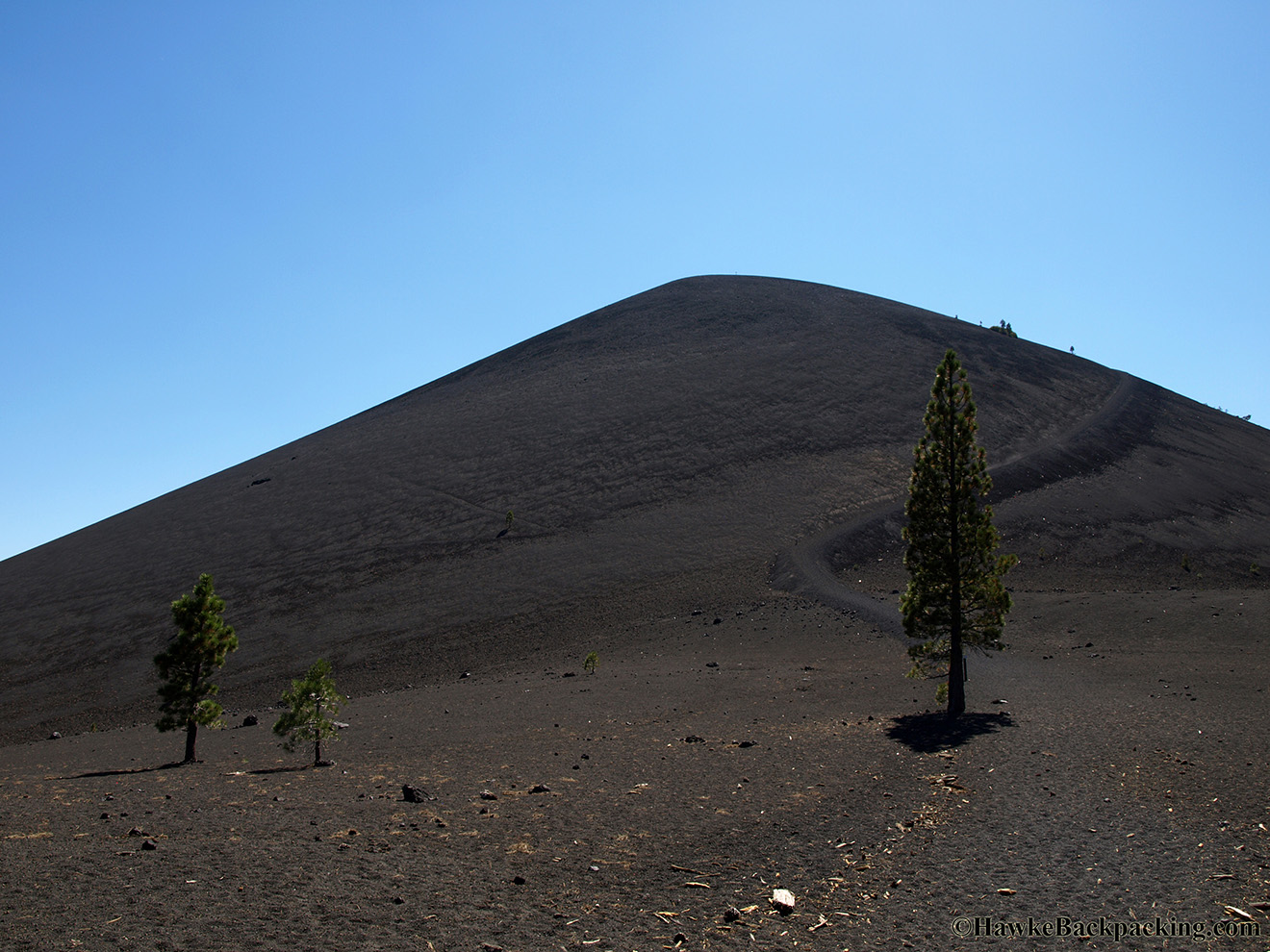
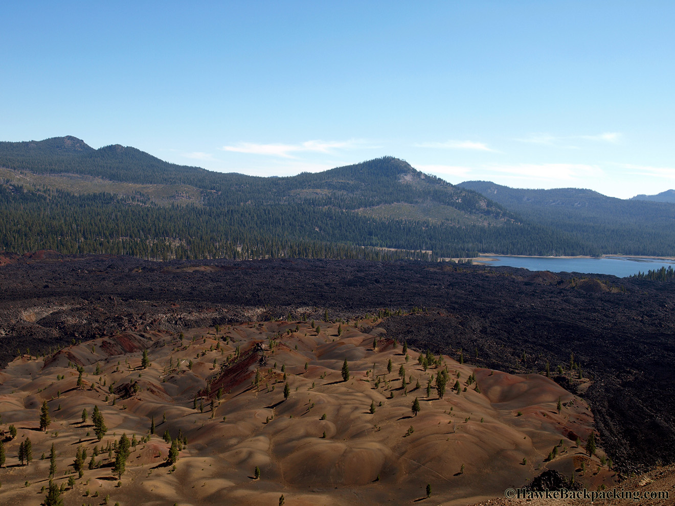
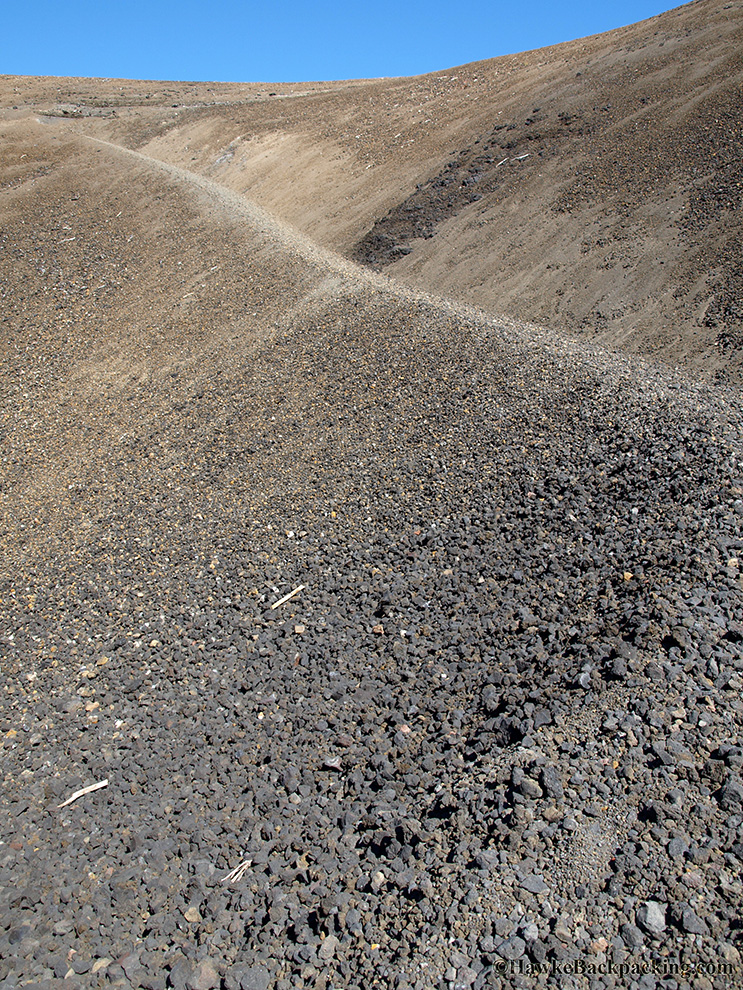
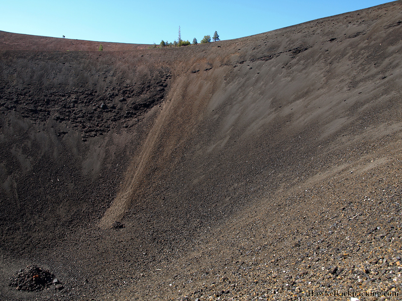
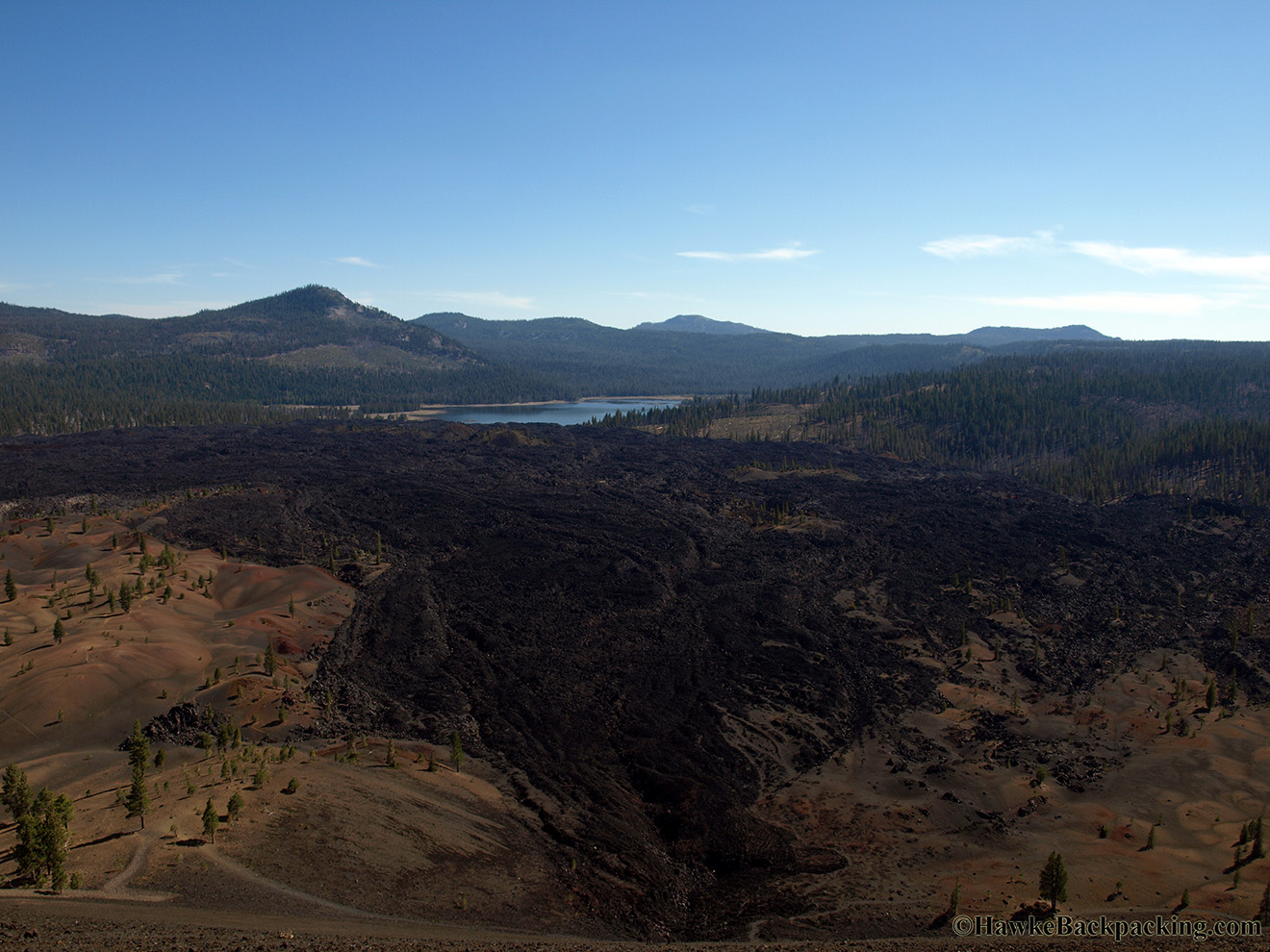
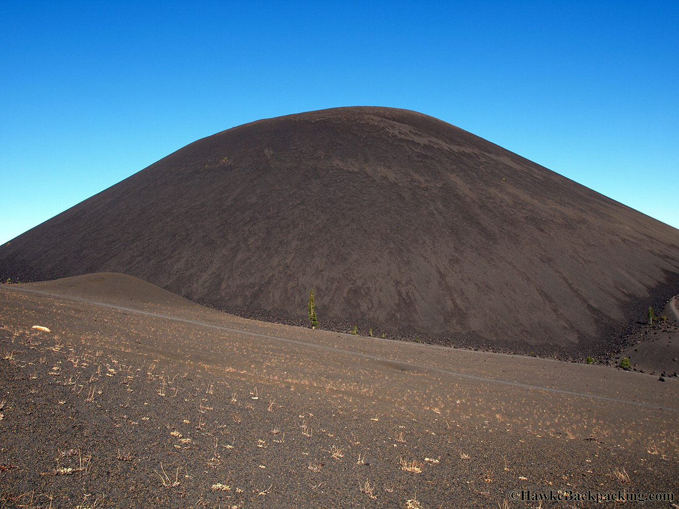
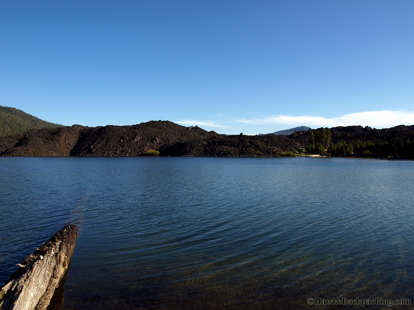
| Lava flow near Butte Lake | Cinder Cone Volcano | View of the different angles of repose on each side |
 |
 |
 |
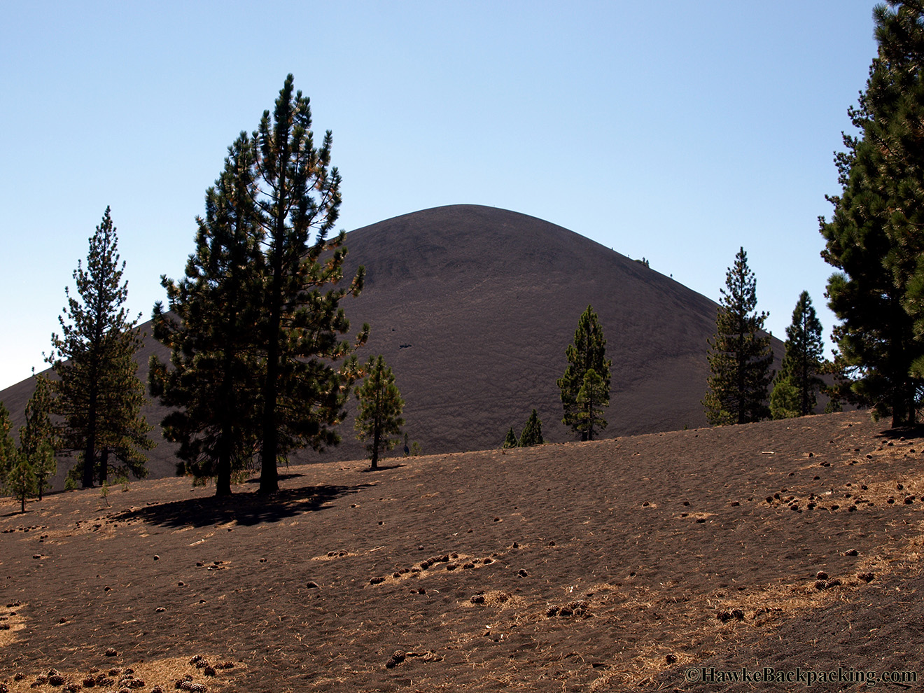
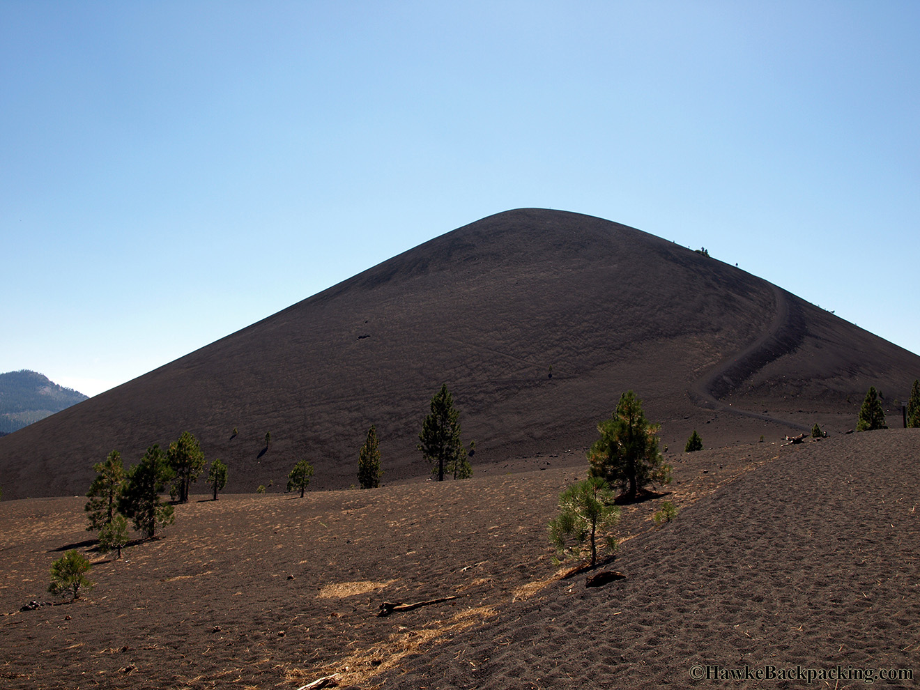
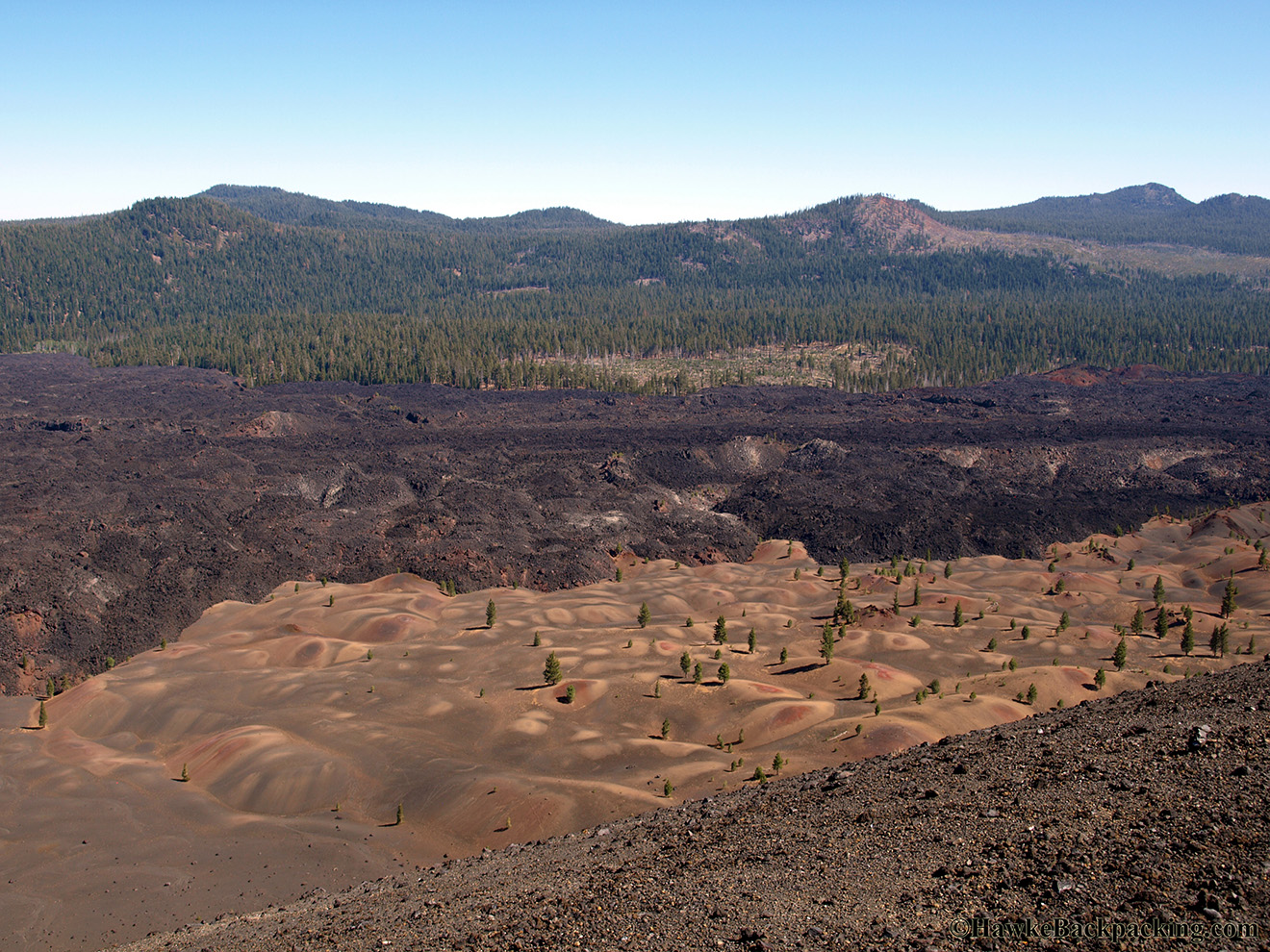
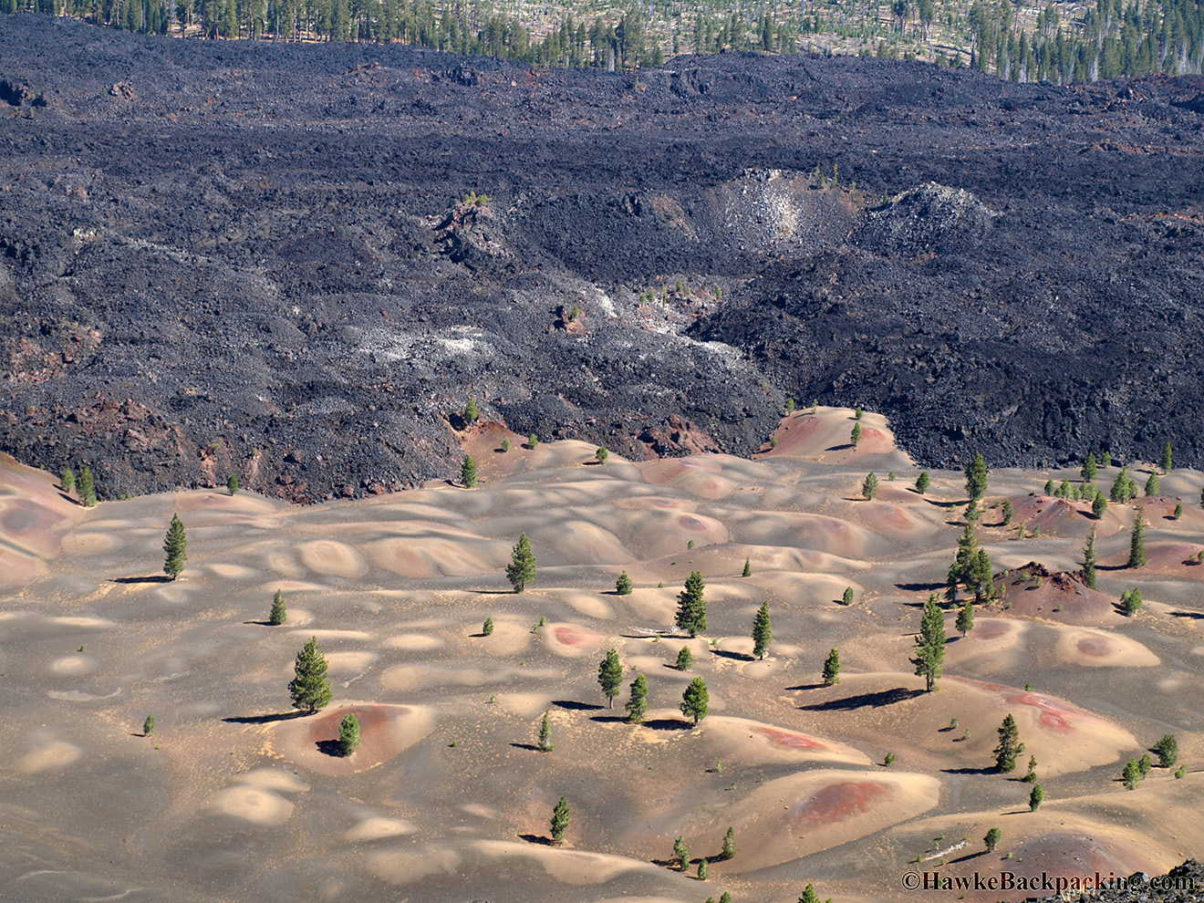
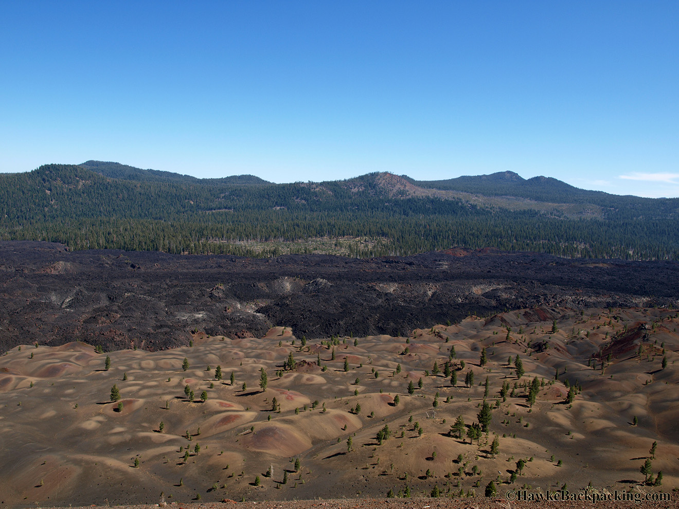
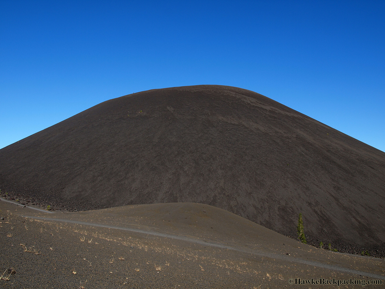
| Painted Dunes, with the Fantastic Lava Beds behind them | The trail up to the top of Cinder Cone. It's 846 ft total elevation gain for the entire 4 mile round trip trail, but I think it's only 700 ft from the base of Cinder Cone to the top. | Hiking up loose cinders sucks. Take one step up, slide half a step back... |
 |
 |
 |
| At the top of Cinder Cone | Lassen Peak | The trails along the top |
 |
 |
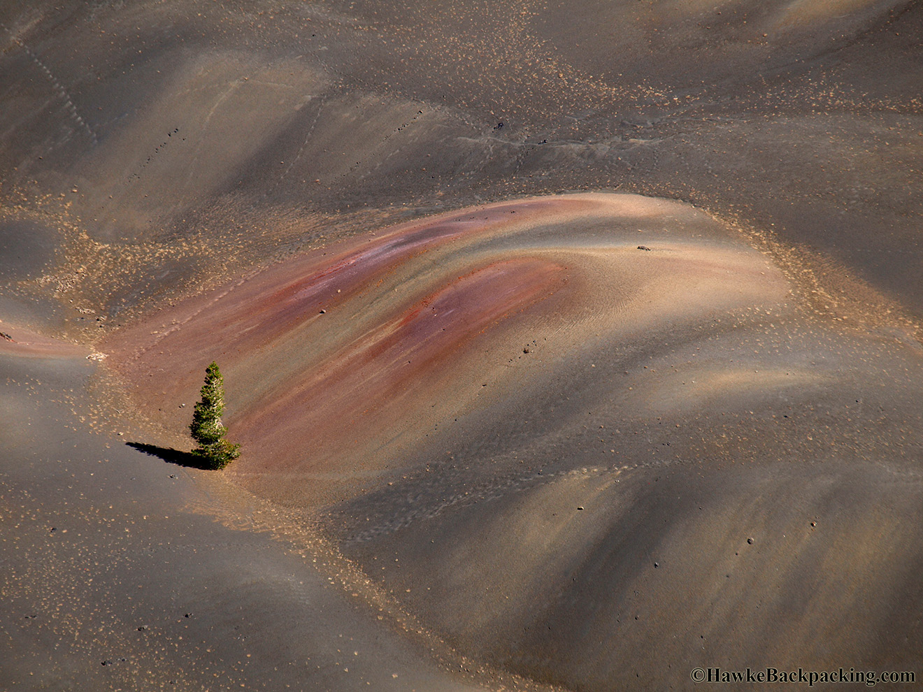 |
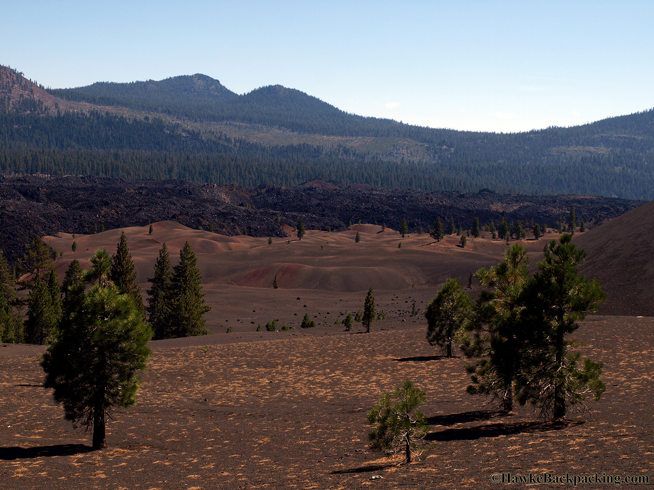
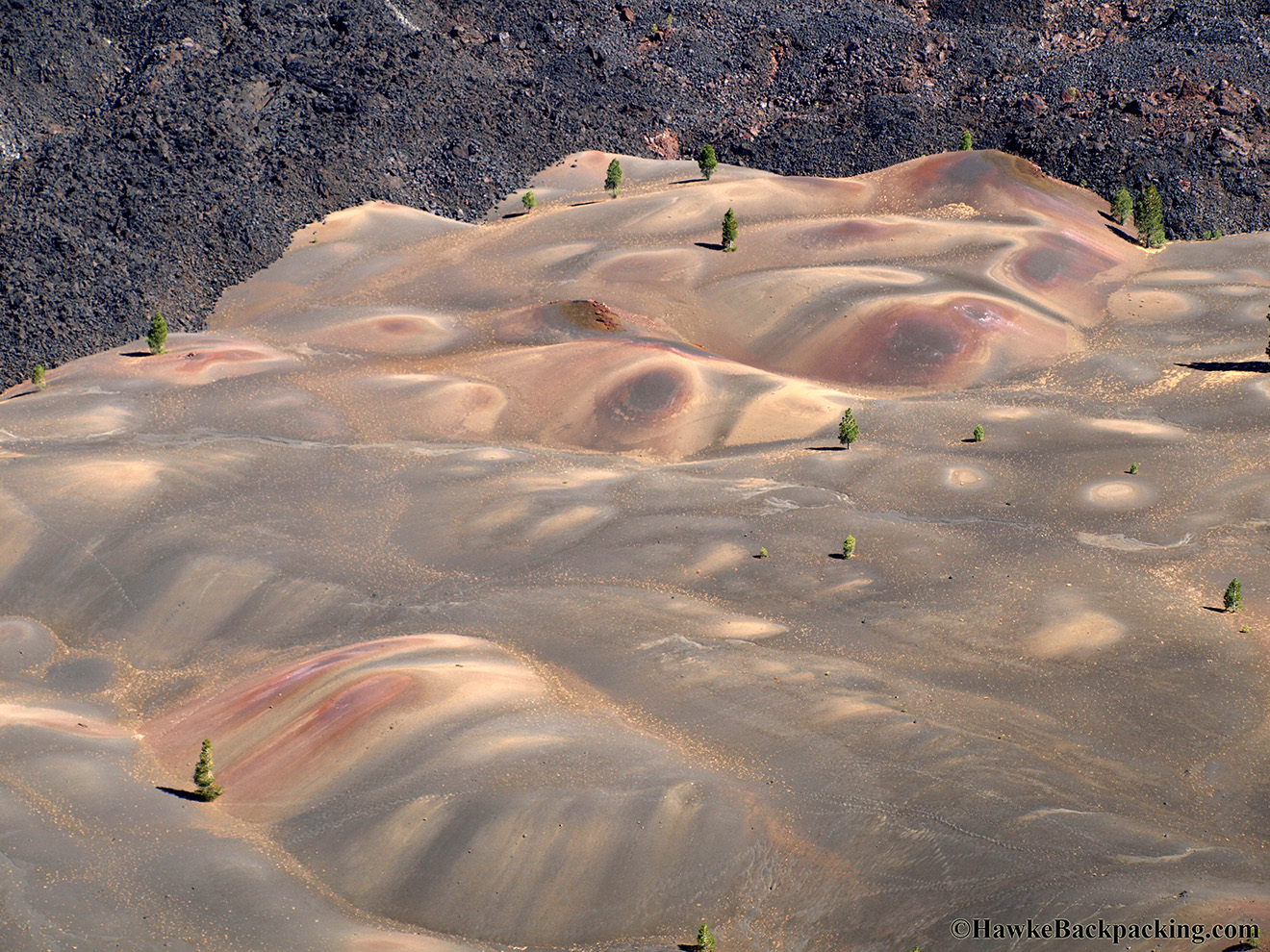
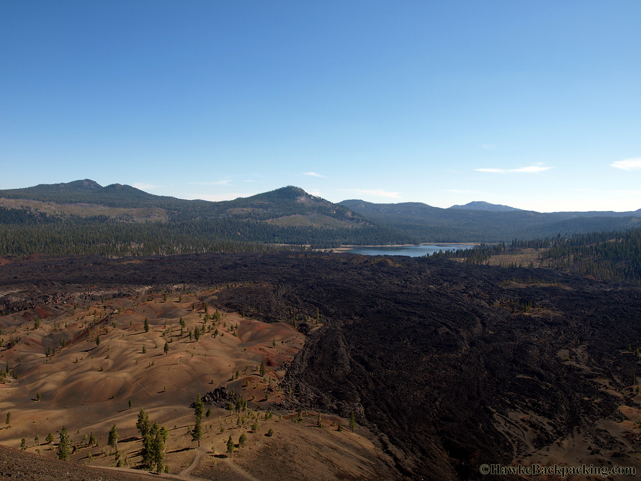
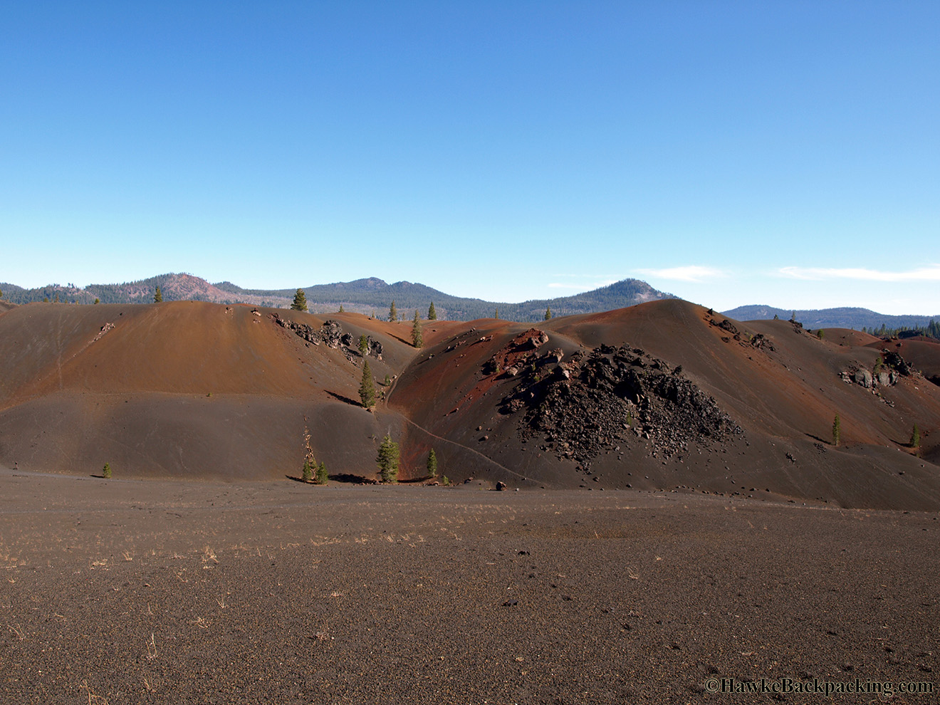
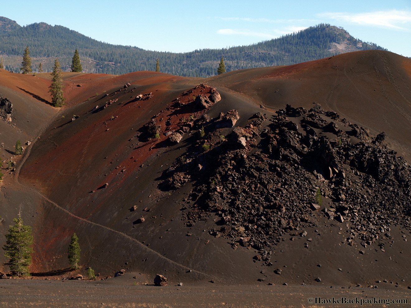
| Fantastic Lava Beds, basalt lava that flowed out of ruptures at the base of Cinder Cone | Painted Dunes | The Painted Dunes get their name from the oxidized cinder and ash that blanket them |
 |
 |
 |
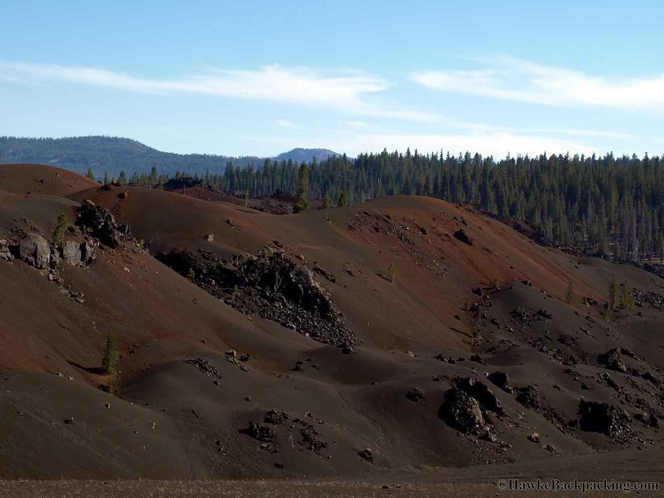
| Painted Dunes | Mt. Hoffman straight ahead | Ash Butte straight ahead |
 |
 |
 |
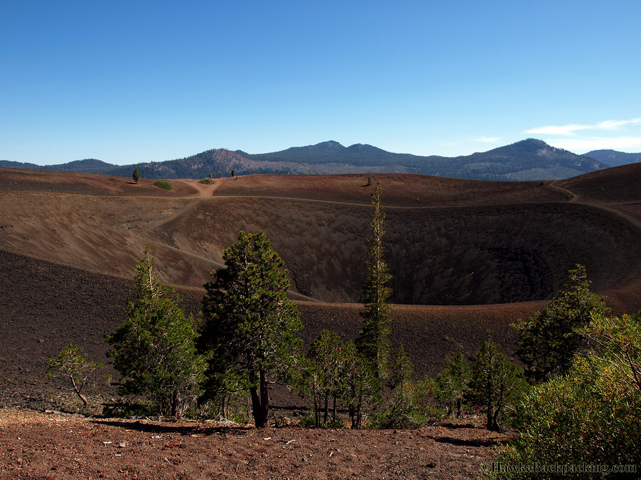
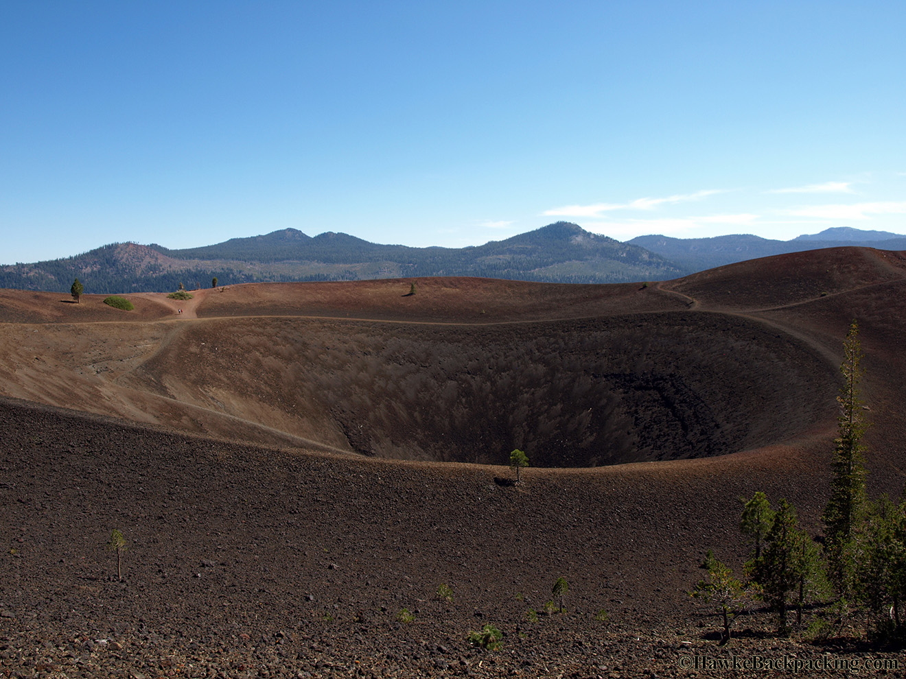
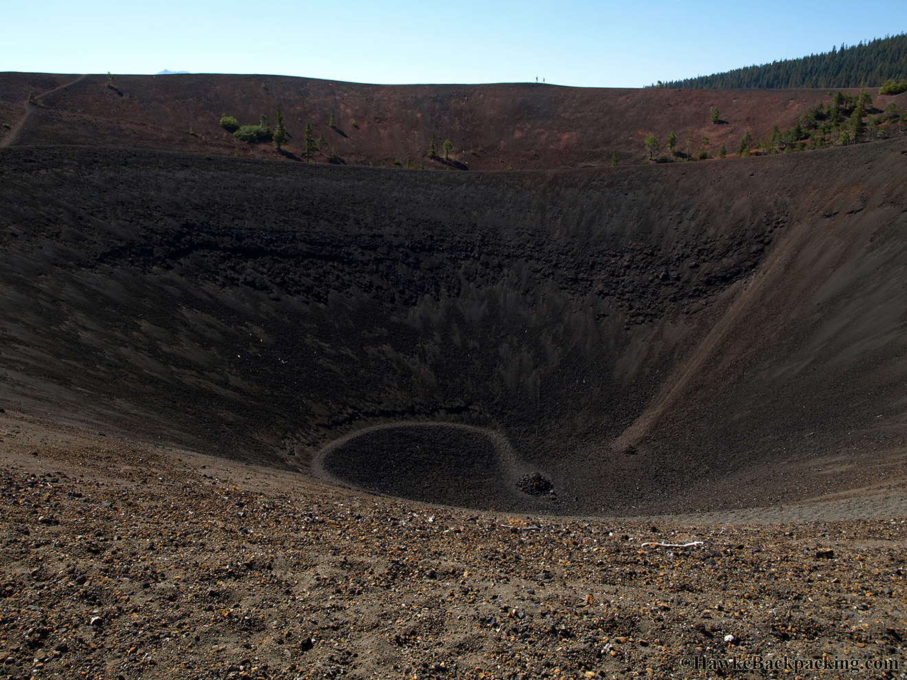
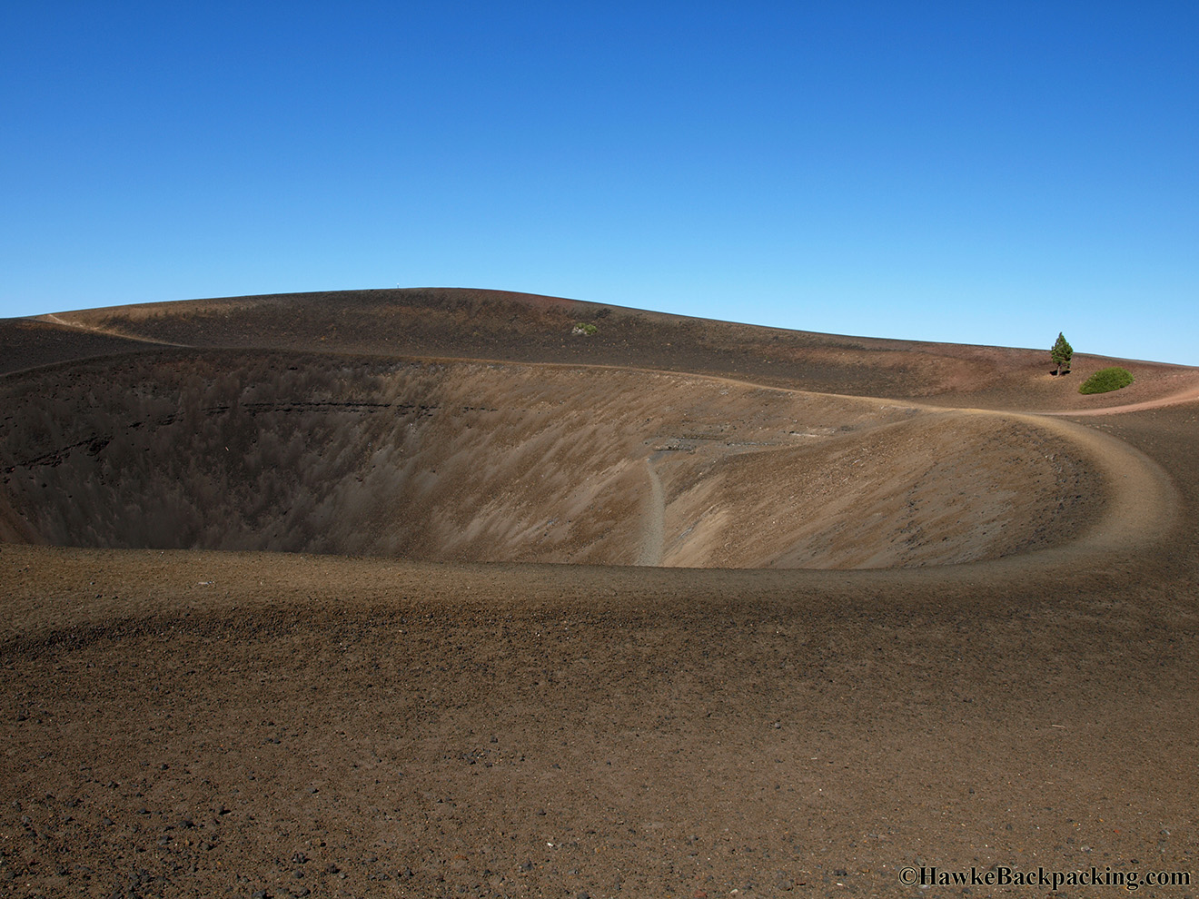
| The Cinder Cone crater | At the bottom of the crater | Shit, now I have to hike back up |
 |
 |
 |
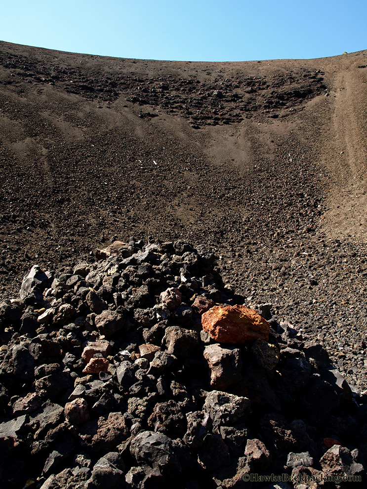
| Wall of the crater | Don't slip. Looks like a mini cheese grater. | Crater rim trail |
 |
 |
 |
| Snag Lake off in the distance | Here you can see where the lava was flowing out of the base of Cinder Cone | View from the west |
 |
 |
 |
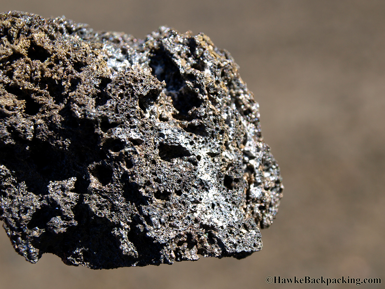
| Painted Dunes seen from ground level | There used to be two different parks in 1907 - Lassen Peak National Monument and Cinder Cone National Monument. They were combined into Lassen Volcanic National Park in 1916. | Close-up of the oxidized cinder and ash |
 |
 |
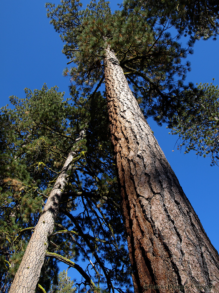 |
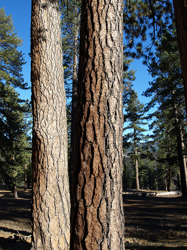
| Painted Dunes | Jeffrey Pine along the trail | Jeffrey Pine |
 |
 | |
| Lava flow going right up to the edge of Butte Lake | Nice aim |
Top of Page or Home